
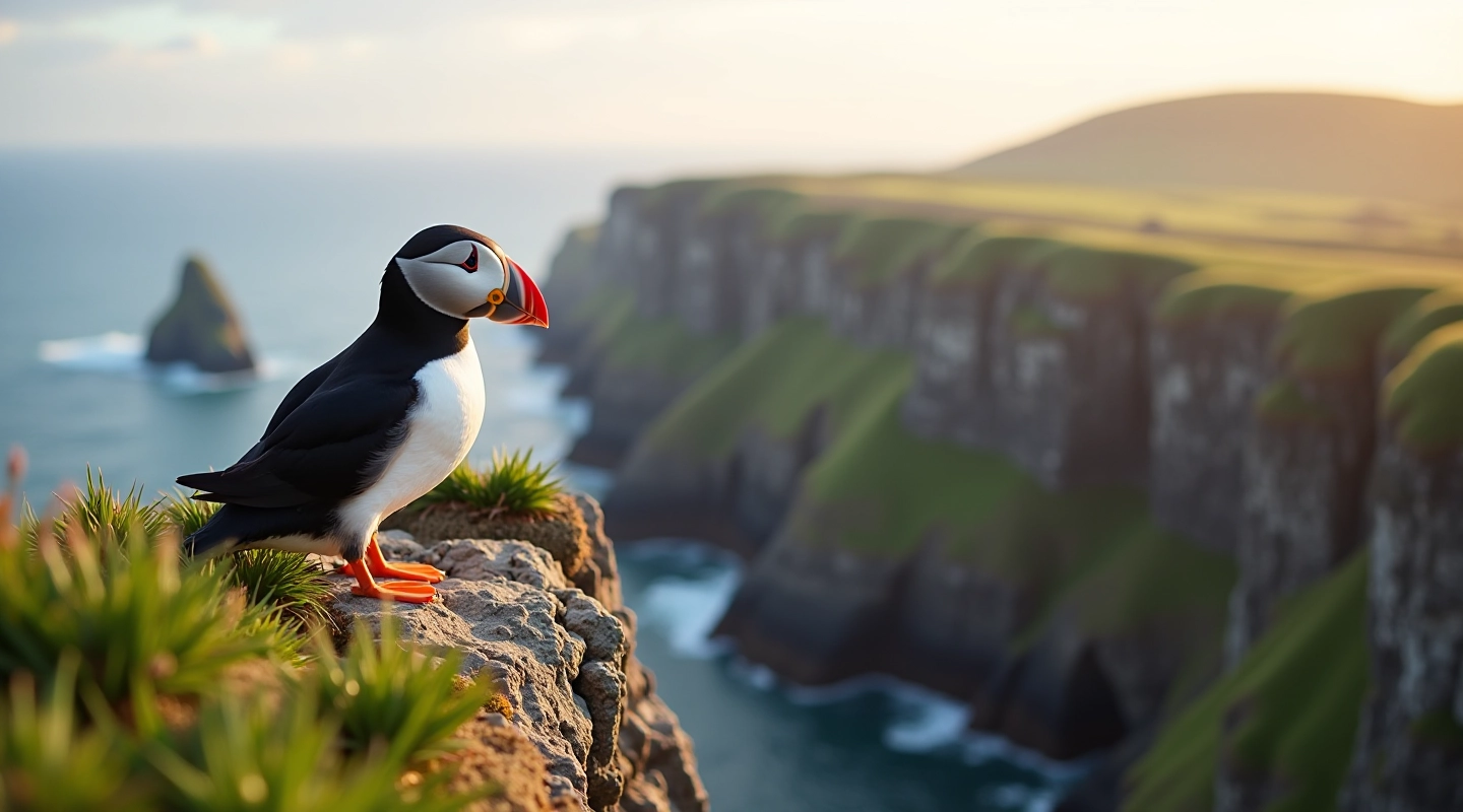
Sea Cliff Walks: Finding Puffin Colonies
Where to spot nesting puffins along Kerry's cliffs. Covers the best viewing spots, breeding seasons, and how close you can safely get.
Discover the best routes to view Skellig Michael from land. We've mapped the terrain, distances, and what you'll actually see from each viewpoint.
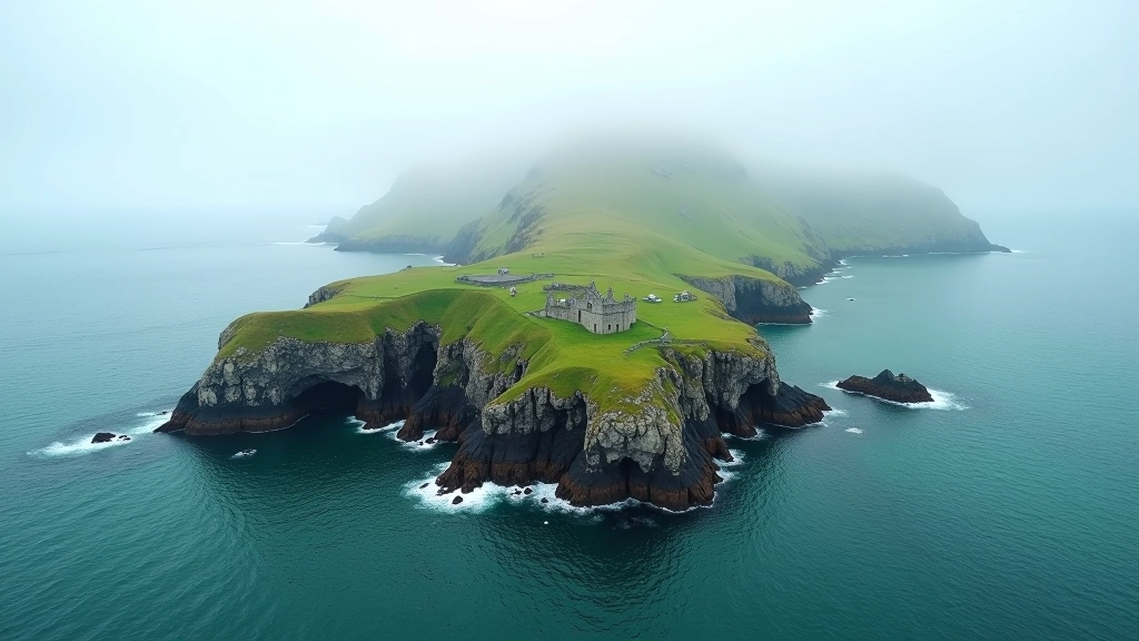
Not everyone can take a boat to Skellig Michael. The weather's unpredictable, the sea can be rough, and booking months ahead isn't always possible. But you shouldn't miss seeing this place. The good news? You can see plenty from shore — really see it, understand the scale, and appreciate why monks chose this rocky island 1,400 years ago.
We've walked the main viewpoints around Valentia Island and the mainland coast. You'll find information on distance, surface type, difficulty, and exactly what the views are like. Some routes take 30 minutes. Others take three hours. Most walkers do better with proper information beforehand.
Each offers different perspectives and difficulty levels
Walking times vary depending on route and fitness
No boat schedules to work around
The viewpoints aren't all the same. Some sit on easy coastal paths. Others require climbing steep ground with loose rock underfoot. You'll need to know what you're getting into before you set out.
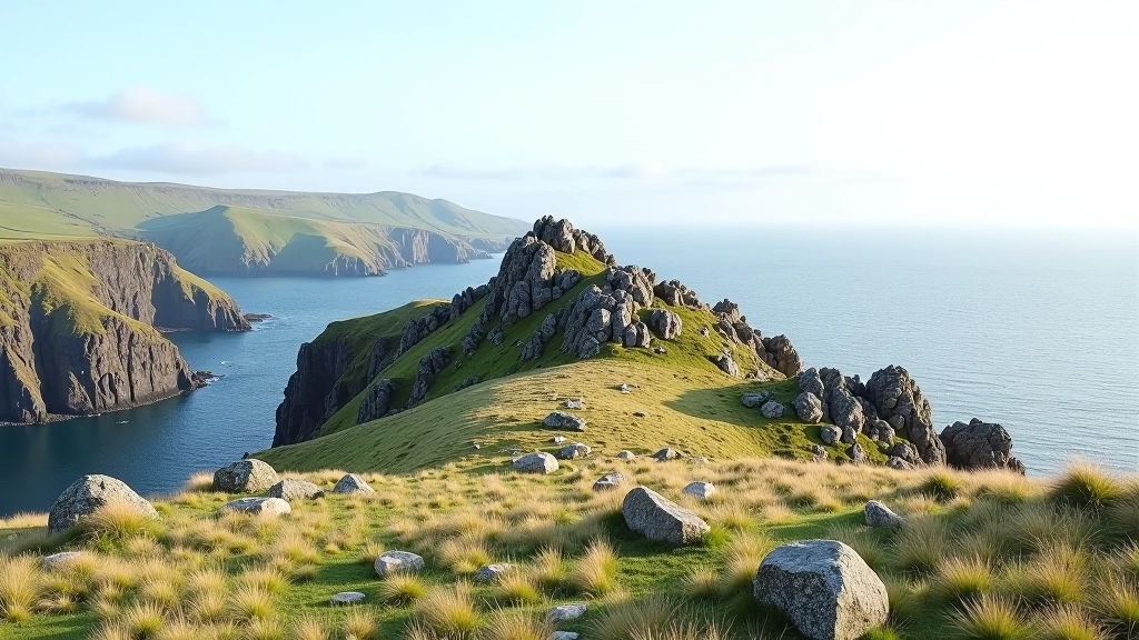
Most viewpoints sit between 200-400 meters above sea level. That elevation means clearer views of the island and the monastery ruins. It also means wind — sometimes serious wind. We're talking about exposed coastal headlands where weather can change quickly.
This guide provides educational information about walking routes and viewpoints in the Skellig region. Weather conditions, trail conditions, and accessibility can change. Always check current conditions with local authorities or visitor information before starting any walk. Wear appropriate footwear and bring layers — coastal weather is unpredictable. If you're new to hill walking, consider going with someone experienced.
Where to spot nesting puffins along Kerry's cliffs. Covers the best viewing spots, breeding seasons, and how close you can safely get.
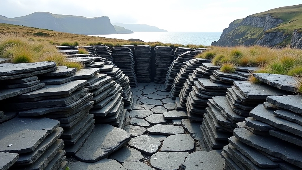
Exploring the historic slate quarry site. Easy walking paths, parking options, and the industrial heritage behind the landscape.
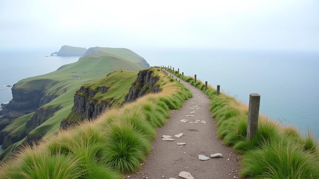
We've identified five distinct locations where you get clear views of Skellig Michael. Each one's different — different access, different distances, different what you'll see.
30 minutes walk from parking. Tarmac path, then gravel. Closest view of the monastery ruins. Can be crowded in summer.
90-minute loop walk. Rough terrain, real elevation gain. Views across three islands. Best in calm weather.
45 minutes one way. Steady uphill on grass. Highest viewpoint on the mainland. Windy but rewarding.
You don't need special equipment, but you do need to think through a few basics. The difference between a great walk and a miserable one often comes down to simple preparation.
Waterproof hiking boots or trail shoes. Not sneakers. The ground gets wet and muddy even when it's not raining.
Start with a base layer, add a fleece, bring a windproof jacket. You can always remove layers. You can't add them if you didn't bring them.
Early morning gives you clearer air and fewer crowds. Afternoon fog rolls in from the Atlantic regularly.
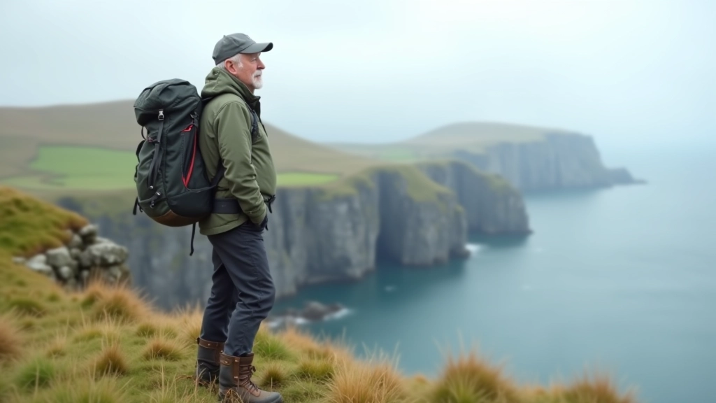
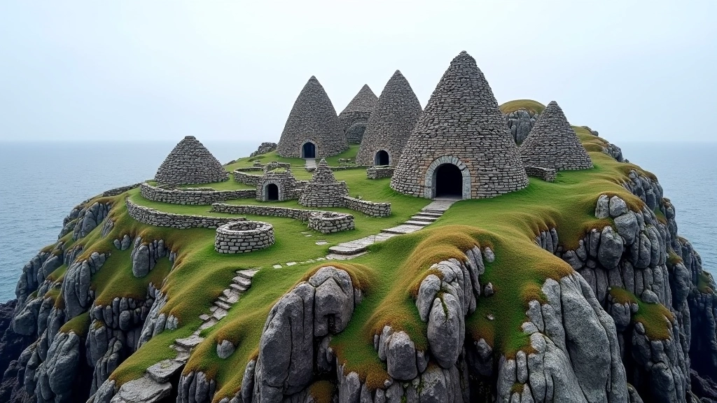
From the viewpoints, Skellig Michael looks like a pyramid of rock rising from the sea. That's not an exaggeration. It's genuinely dramatic. On clear days — and you want clear days — you'll see the monastery ruins clearly. They're small from a distance, but you'll make them out.
The monks built six beehive huts, two oratories, and a small church between the 6th and 12th centuries. All perched on a rocky island with no fresh water source on site. That tells you something about medieval monastic commitment. You won't see individual people or boats (the scale's too great), but you'll see the structures, the rock formations, and understand why this place mattered.
On misty days — which is often — Skellig disappears. You get views of the coastline instead, which is still worth the walk. But if you're specifically keen on seeing the island, check the weather forecast and pick a clear day. It makes the difference between a good walk and an unforgettable one.
You don't need a boat to appreciate Skellig Michael. You need proper footwear, decent weather, and realistic expectations about what you'll see. The viewpoints around Valentia Island offer that — views of this remarkable place without the complexity of island tours.
Start with the Valentia Island viewpoint if you're new to coastal walks. It's accessible and rewards you with clear views. If you're more experienced and want more challenge, the longer routes deliver that. Either way, you're looking at genuine Kerry landscape — dramatic, windswept, and worth your time.
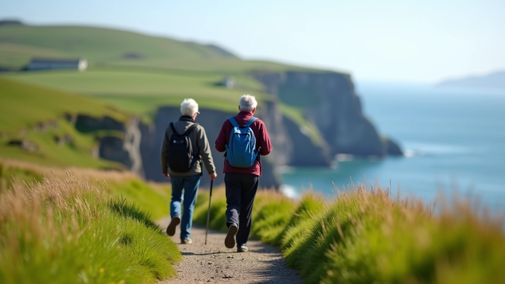
Tips for comfortable coastal walks in Kerry. Includes rest points, accessible routes, and how to manage longer distances safely.